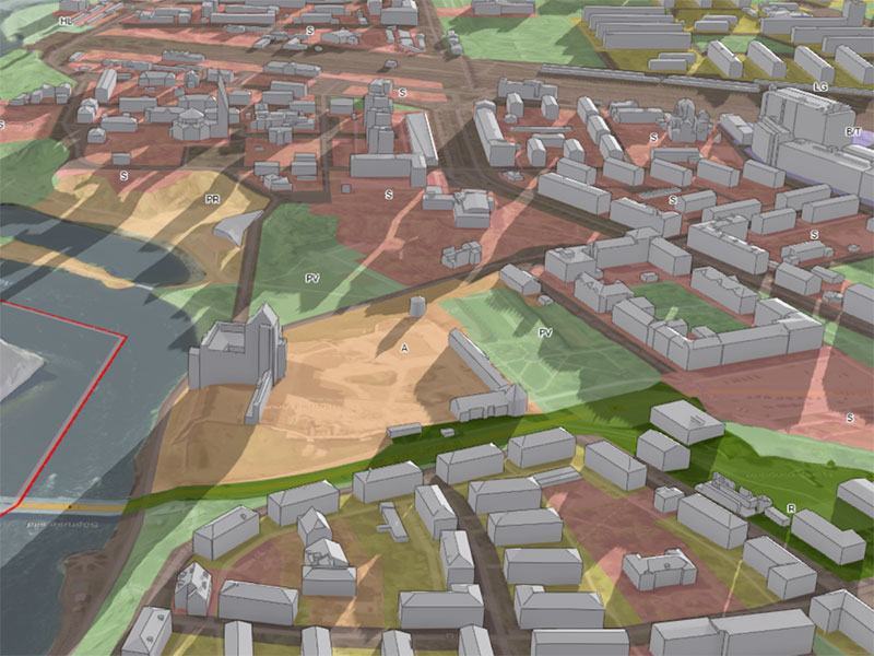
GIS-Solutions have evolved from the earlier cartographic functions, which were made in Hendrikson DGE as an aid for planning.
Today we offer web solutions based on ArcGIS Javascript API, to make GIS tools easily accessible for consultants and clients over the web.
These tools not only allow an easy access to analyses, but also are a powerful way of communicating through beautiful visuals.
Subcategories:

Jaanus Padrik

GIS

