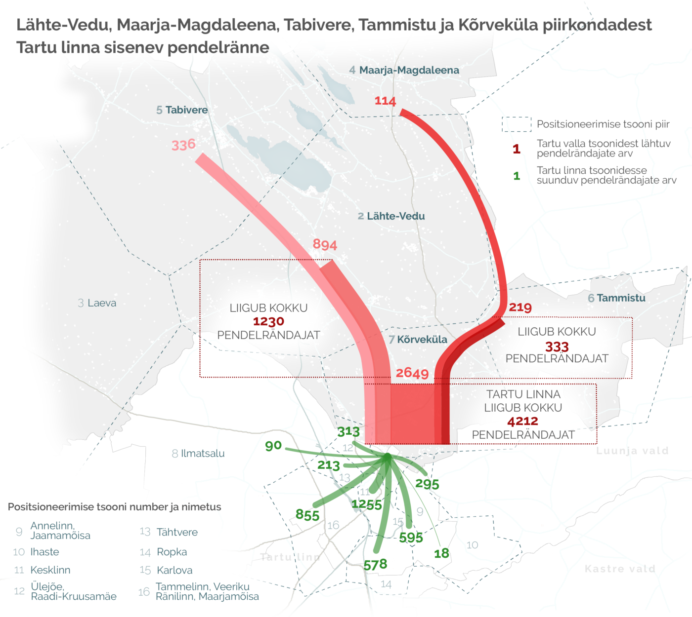
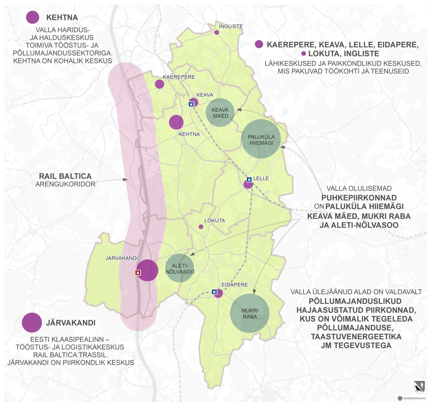
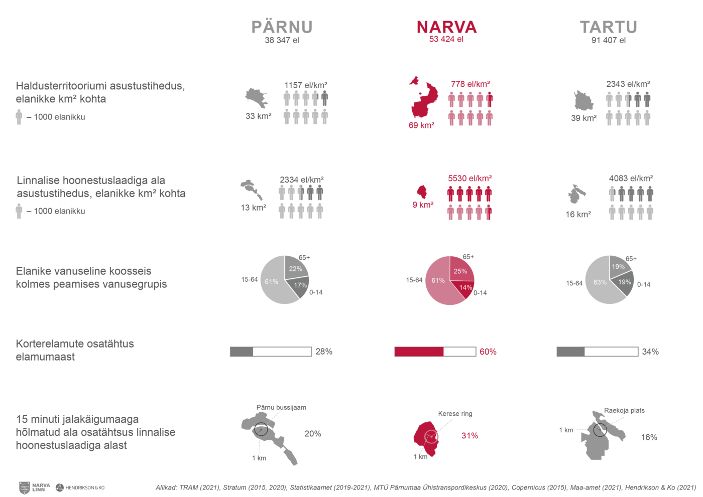
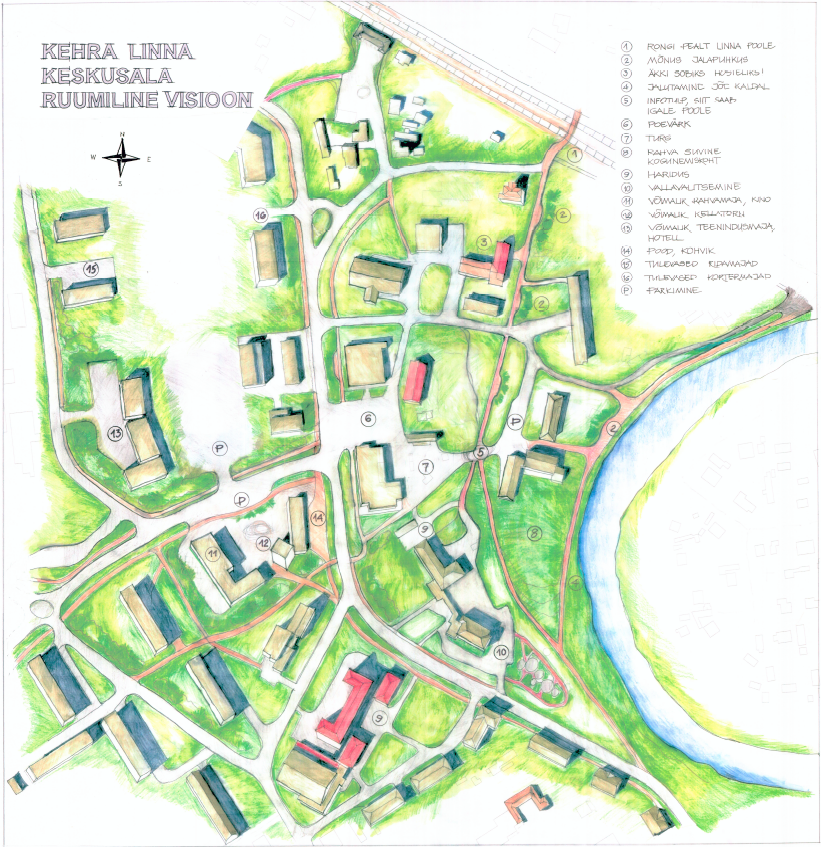
One of Hendrikson Ko’s core competencies is the preparation of various drawings, planning maps and visualizations. We help to visualize everything that exists as well as ideas and plans. We deliver the final products based on client specifications. We create large billboards, small illustrative diagrams, two- and three-dimensional models.
If desired by the client, we can obtain the data used in the preparation of the maps ourselves from various national databases, county governments, municipalities, previously prepared project work. When performing the work, we take into account all applicable legislation.
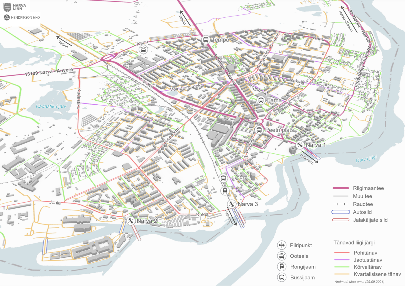
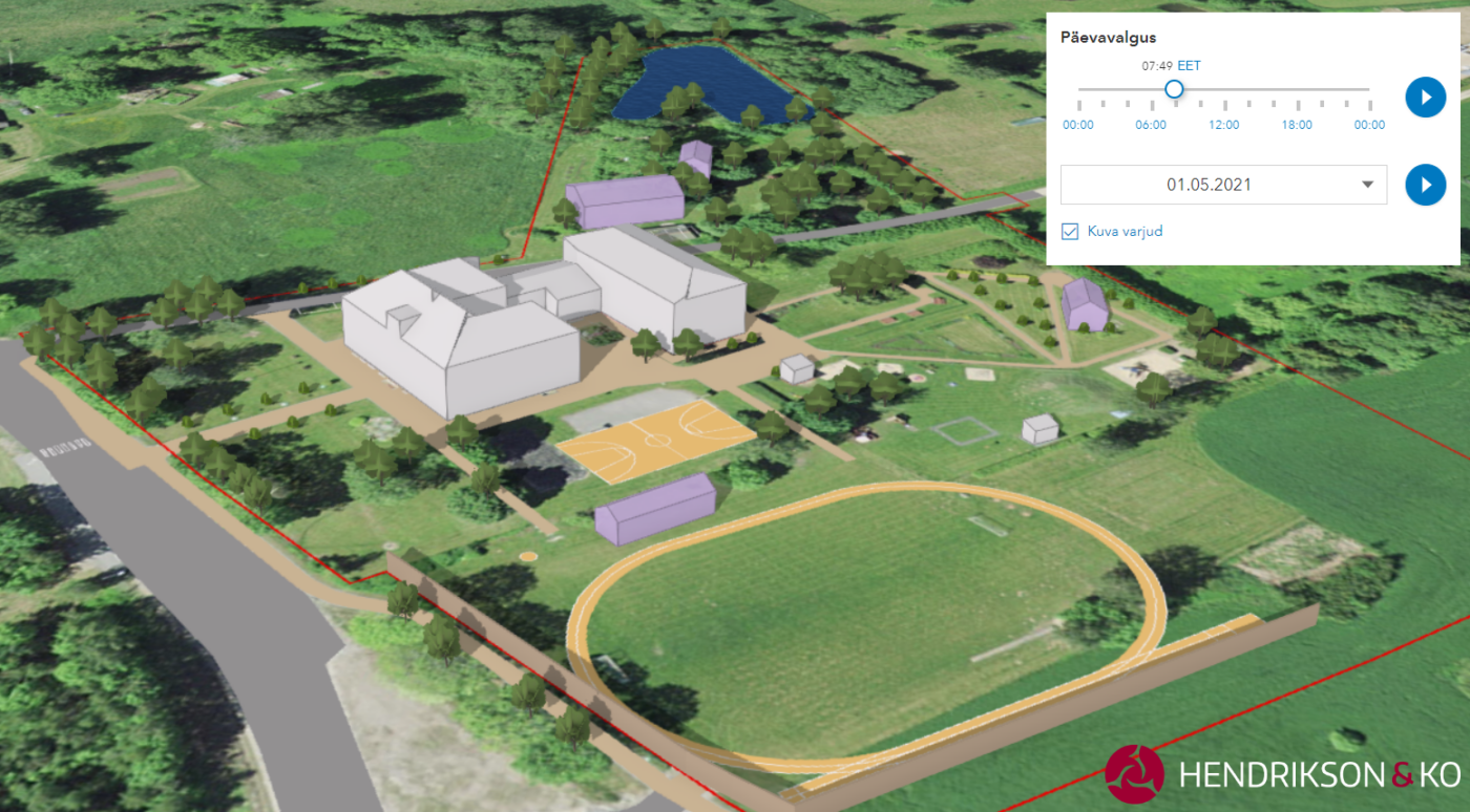
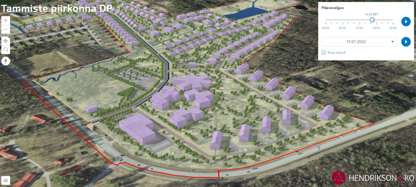
Traditionally, all planning and project documentation is prepared and presented in two-dimensional form. Three-dimensional solutions go beyond this by making the plans understandable to all parties and simplifying the planning of objects in the environment. We create visualizations and 3D models for planning and landscape analysis, but also as independent products. We also make models for road projects and existing or planned areas.
In addition to static illustrations, we also create interactive 3D applications that can be shared using a simple web link, where you can adjust the viewing angle in any direction, turn information layers on and off, and customize lighting conditions based on date and time. The applications do not require any special software to use and can be viewed in any internet browser.
Thanks to our long-term experience, we know what to consider when preparing planning maps and how to make information-dense maps easily readable and understood.

